Get digital access to this title and hundreds more with a Kids Discover Online subscription.
Get digital access to this title and hundreds more with a Kids Discover Online subscription.
10-Pack Maps
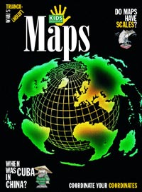
Without maps, we would be totally lost: We wouldn’t know how far apart continents are from one another, what features define different land masses – and even which subway line or road to take to get to where we want to go. Maps, for kids, takes a close look at these unsung works of art that give us direction, starting with the most ancient ones, like a rough clay tablet from Mesopotamia, dating back to 2000 B.C., that charted which plots of land belonged to which people. Then it’s on to the 15th century – the Age of Exploration – during which European adventurers fanned out across the world and claimed new lands for their kings. Cartographers were essential to these travels, and helped change some explorers’ wrong-headed notions about the geography of the Earth. For example, Columbus insisted that Cuba was part of mainland China – until humble mapmaker Juan de la Cosa produced the first world map to include the Americas.
Because the Earth is round, no flat map can accurately portray size and distance; this is where projections of maps come in. Kids will get a kick out of some of the weirdest-looking ones, like the Bonne projection, which is heart-shaped, and the Robinson, which looks like a jellybean. Technical advances in making maps, for kids, are explained simply, and the issue ends with a look at all the kinds of maps that help guide us today, from maps with ecological information to tourist maps, topographical maps, and more.
