Virtual Travelers
- December 16, 2014
- By Marjorie Frank
 What in the world are virtual travelers? They’re people who travel the world by watching TV, movies, or videos; by reading travel books and novels set in distant places; or by listening to music and viewing pictures. Virtual travelers see parts of the world that may otherwise remain inaccessible. For students, being virtual travelers may be an engaging way to learn about Earth’s geography, regarded by many as a staple of the social studies curriculum.
Creating a travelogue of a virtual tour can help students absorb geographic information and learn about distant parts of the world. Here’s a strategy to help them pull it off. You can think of it as L-Travel, where L stands for longitude or latitude.
Beginning
Tell students they will be taking a virtual tour of the world by following a line of latitude or longitude around the globe and creating a travelogue of the trip. Have students form groups of three or four “travel companions.”
Getting the Route
To determine the route each group will take, toss a beach ball with a globe on it or a light-weight, plastic globe to the designated “globe catcher” in the group. The line of latitude or longitude nearest the tip of the person’s right thumb is the route the group will follow. Alternatively, allow groups to pick their own line of latitude or longitude. Regardless, be sure someone in each group makes a written note of the coordinate.
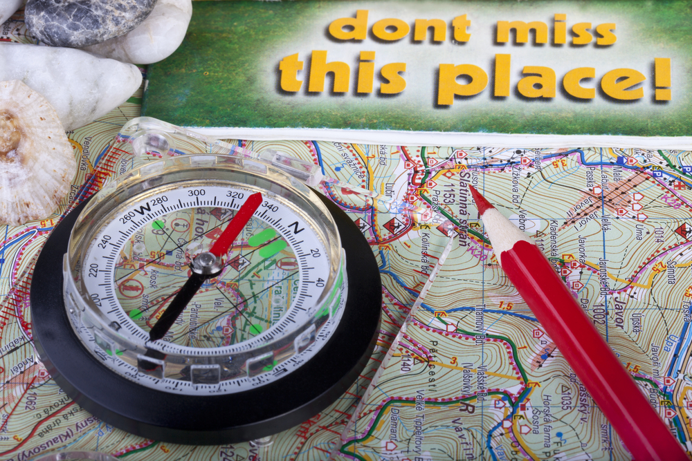
Ask students to follow their route around the globe (or on a detailed map) and list the landforms, bodies of water, nations, and cities they will see along the way. If their route is mostly ocean, remind them to look north and south or east and west for additional points of interest. If necessary, have the group’s designated person catch the globe again or pick a different coordinate to get a route that touches on more land.
Focusing: Physical or Human Geography
Allow time for group members to decide on the type of travelogue they will create. Since students’ “trip” will cover a great distance, you may need to help them focus their efforts. Do they want to explore the physical geography they encounter — the mountains, lakes, rivers, coastlines, oceans; the climate; the animal and plant life? Or do they prefer to look into the human geography of their route — the culture, people, economy, or cities they come across? Responses to questions like these will help students identify the specific points of interest in their travelogue.
Executing
Have groups use political and topographical maps to identify and list the points of interest they will explore. Suggest that each group member take responsibility for researching and creating the travelogue connected to one or more specific places.
If needed, discuss the characteristics of a travelogue: It may be written or spoken. Information is usually presented chronologically from the beginning of a trip to the end. It includes photos and often the author’s opinions or impressions of the places described. Encourage students to note the latitude and longitude of each place they visit.
Guide students to use print and Internet resources to develop the content and find images for their travelogue. They may want to access images via the search function at http://search.creativecommons.org. At the site, tell students to unclick the box “use for commercial purposes” and to follow the link for an image they want to use to confirm that it is actually under a Creative Commons license and thus available.
Google Docs or another shared editing platform is a great way for students to work together to arrive at a final draft. If appropriate, suggest that students format their travelogue as a slide presentation using PowerPoint or other software.
Finally, arrange time for students to present their travelogues to the class. In doing so, the entire class will benefit from developing an increased familiarity with the physical and human geography of their planet. A good thing.


